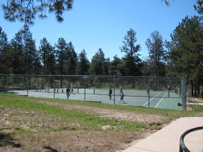
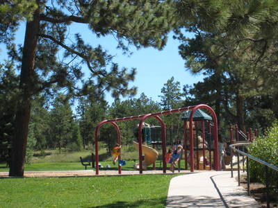
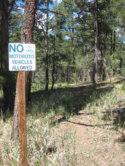
Header photo courtesy of dom.takes.pics
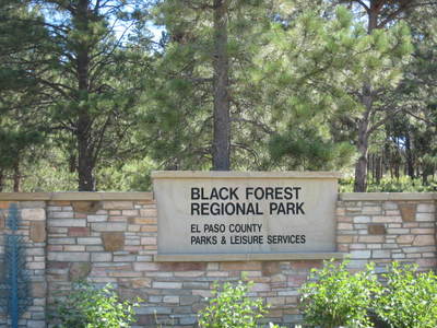
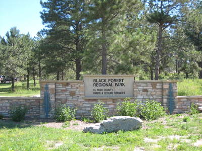
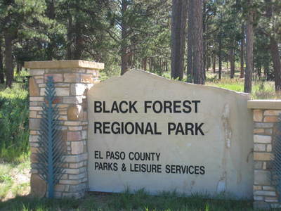
The Black Forest Regional Park is located in the Black Forest area of El Paso County, Colorado, northeast of the intersection of Shoup Road and Milam Road, continuing north east to the intersection of Vessey Road and Holmes Road. Access to the Regional Park is off of Milam Road and Vessey Road.
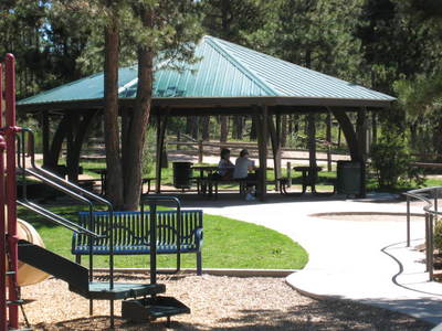
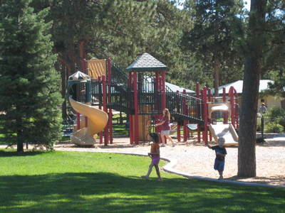
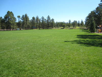
Black Forest Regional Park has been under the care of El Paso County since 1977. As a Regional Park Black Forest preserves a unique open space and provides recreational opportunities to the citizens of El Paso County. The most recent agreement with the Cathedral Pines developer secured 145 acres of open space for public use as a regional park north of the original park. This extension cut five Park Department maintained trails plus two additional “social trails.” In the fall of 2008 the Parks Department put in some connecting trails. These included two at-grade road crossings and one culvert under Milam Rd. that is large enough for horseback riders.
Black Forest Regional Park is surrounded by existing residential subdivisions, of large wooded lots of 3+ acres. There are four major access points into the park, three trailheads and one trail access point from the Cathedral Pines Metropolitan District property located north of Black Forest Regional Park. CLICK HERE to download the Master Plan (8.3 mb) which contains detailed information on the park’s Topography, Soils and Geology, Drainage and Wetlands, Vegetation, Wildlife, Visual Resources and Man-made Structures. CLICK HERE to access El Paso County’s Forestry and Noxious weeds website.
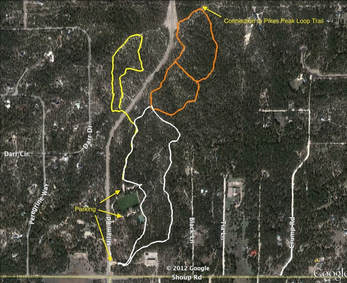
BFRP has a web of trails, but the map below shows the three main loops for which there are maps and trail markers on the trails themselves. The onsite maps and trail markers refer to the white, orange and yellow loops. Combined, all three loops are 4 miles long, but distances will vary depending on where you access the trailheads (located at the 3 parking areas). You can hike additional miles by branching off on the lesser trails. Click the map below for a larger image.
Contact Us |
Subscribe To Our NewsletterWe only send out emails periodically for important announcements and information related to BFTA. You can unsubscribe at any time. We will NOT sell or give out your email address.
|
Follow Us On Facebook |
©
Black Forest Trails Association.

